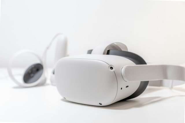
Virtual reality (VR) is an immersive technology that enables users to immerse themselves in a computer-generated virtual environment and interact with it using headphones and goggles. Virtual reality and maps are interconnected through the possibilities of virtual visualization of geographic data. With the help of these technologies, websites like gis-point.com can transform maps into interactive, three-dimensional environments. The user can explore and interact with them in real time. This opens up new possibilities for studying and analyzing geographical objects and their use in various fields, including geographical research, education, tourism, and business.
How is virtual reality utilized in cartography
Virtual reality allows for the creation of interactive virtual map models. These maps aid in exploring geographical objects within a three-dimensional environment. This opens up new opportunities for exploring and understanding the geographical features of various regions, including landscapes, climatic conditions, geological formations, etc. Cartographers and surveyors can generate detailed virtual models of geographical objects, thanks to technological innovations in mapping. The utilization of modern scanning, geospatial data processing, and visualization techniques further enhances the efficiency of creating high-resolution maps.
The advantages of using virtual reality in maps
- Convenience and accessibility from any location with access to the appropriate equipment.
- Interactivity and adaptability.
- Improvement in the perception and understanding of geographic information through three-dimensional display and the ability to interact with the map in a virtual environment.
What are the limitations of using virtual reality?
Some virtual solutions may require high-powered hardware or a fast internet connection. Also, users may not be able to master the use of virtual reality immediately. Therefore, there is a need for training and education, and this is a challenge for beginners. The issue of protecting the privacy and security of users’ personal information remains open. Virtual maps include the collection and processing of geographic data.
Where can virtual reality be used in maps
Virtual maps can assist tourists in planning their routes, exploring tourist attractions, and accessing information about locations and points of interest. These maps serve as effective tools for teaching and training in geography, cartography, and navigation, allowing users to interact with 3D models and explore geographical features. Moreover, virtual reality can enhance the study of geographical objects and phenomena, providing an immersive learning experience of geographical processes and territories.
What does the future hold for virtual reality in cartography
Advances in virtual reality, such as enhanced graphics, increased interactivity, and artificial intelligence, will further drive the development of virtual maps. Virtual reality has the potential to become a powerful tool for education, research, and business, enabling users to fully immerse themselves in exploring and learning about geographical objects and territories. While there are certain technical limitations and the need for user training and data security, there are significant opportunities to use virtual reality in cartography to enhance the understanding of geographic information and expand the application of maps in various areas of life.
Therefore, virtual reality holds significant potential for implementation in cartography. It enhances the perception of geographic information and broadens its application across diverse fields. Research endeavors in the realm of virtual reality and cartography have the potential to advance technologies and methodologies for utilizing virtual maps, thus paving the way for exploring new frontiers in understanding geographical spaces and their utilization across different domains of life.


